


Asteria Aerospace Limited is a full-stack drone technology company providing actionable intelligence from aerial data. Asteria develops deeply customized drone solutions for government and enterprise applications using its in-house hardware design, software development, and manufacturing capabilities.
Where drone data meets digital transformation
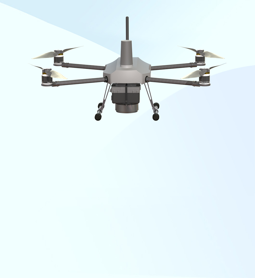
India’s First Micro Category Drone with DGCA Type Certification for Surveying & Mapping Applications
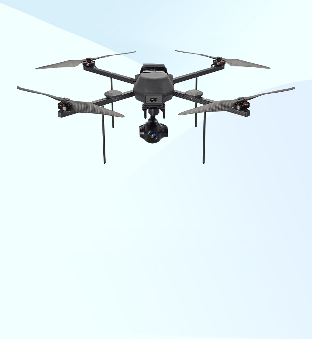
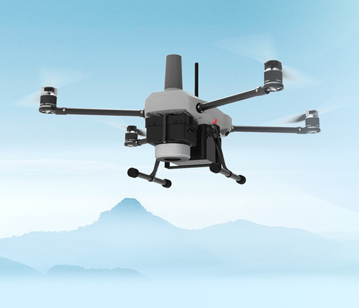
Feature-packed Small Category Drone with DGCA Type Certification for Surveillance, Inspection & Mapping Applications
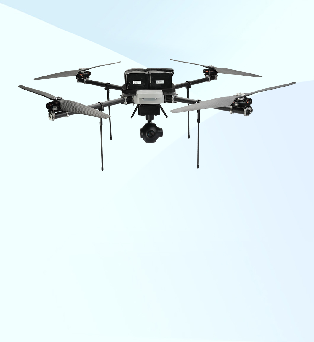
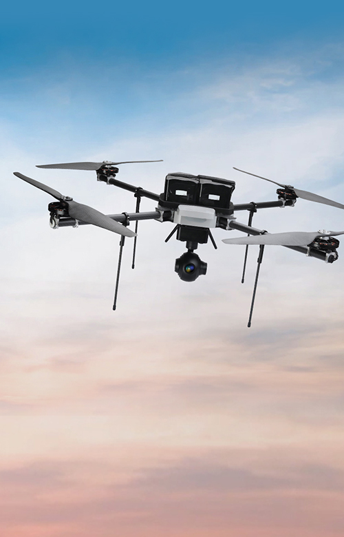
DGCA type certified drone with best-in-class payload capabilities for surveillance & industrial inspections
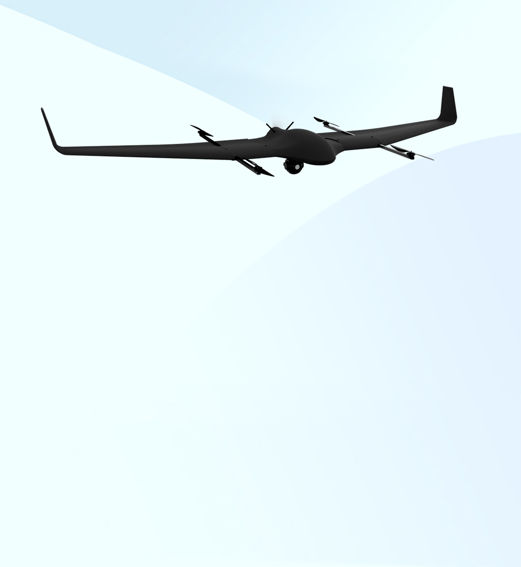
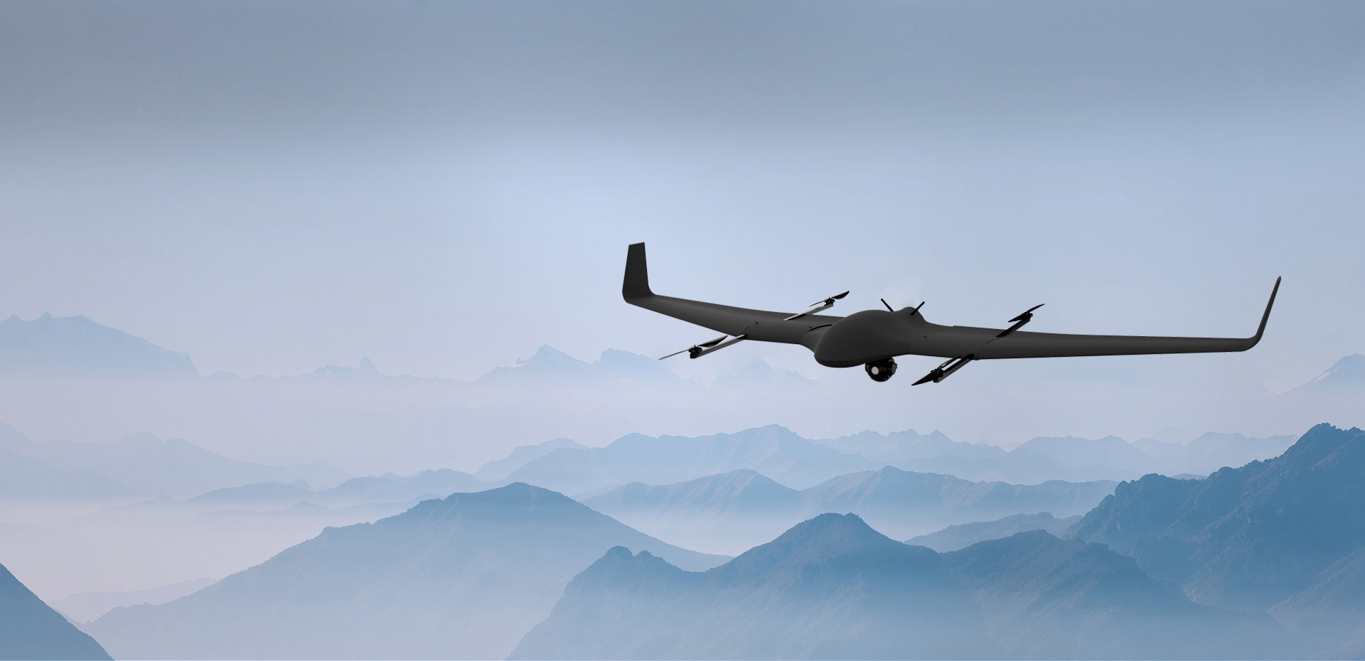
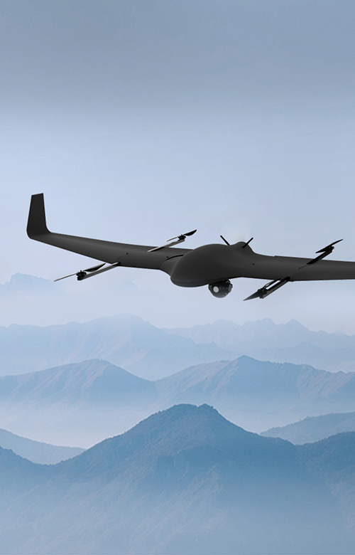
VTOL Drone with Superior Endurance and Range for Critical Intelligence, Surveillance & Reconnaissance (ISR) Missions
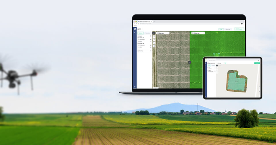
Enhance operational efficiency without investing in hardware, software, and analytics using Drone-as-a-Service solution.


 Pavan K. Verma
Aug 25, 2023