Asteria's mining drone solutions provide a smarter, safer, and more efficient way to manage mining operations. Our drone solutions enable high-precision surveying, stockpile management, and site monitoring, optimizing productivity while reducing operational risks. From open-pit mines to underground sites, drones enhance decision-making with accurate, real-time data.
With extensive experience in drone applications for mining, Asteria delivers cutting-edge solutions tailored to the industry's needs. Our drones for mining are equipped with advanced sensors for topographic mapping, volumetric analysis, and infrastructure inspections. By integrating AI-powered analytics, we ensure seamless data processing for better resource planning and compliance.
Survey grade accuracy with PPK GPS enabled drones.
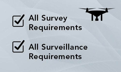
One-stop shop for both survey and surveillance drone requirements.
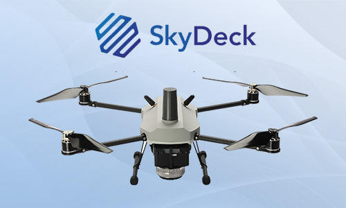
End-to-end drone solutions including hardware and software.
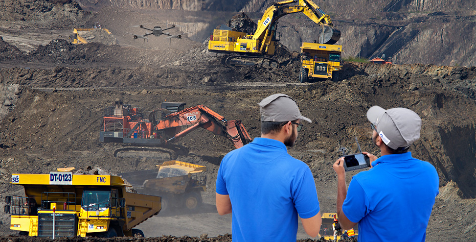
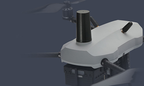
Capture richer insights for improving the efficiency of mining operations while reducing human risk with India’s first DGCA certified micro-category A200 drone with high-resolution camera and PPK GPS. Get centimetre-level accuracy of geotagged images for accurate stockpile volume estimation and asset utilization with minimum groundwork.
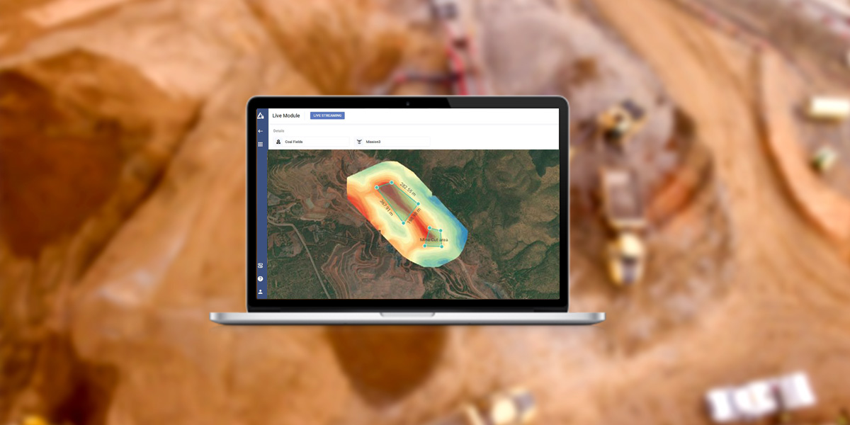
Automate drone data processing and generate meaningful insights through SkyDeck, Asteria’s cloud-based platform:
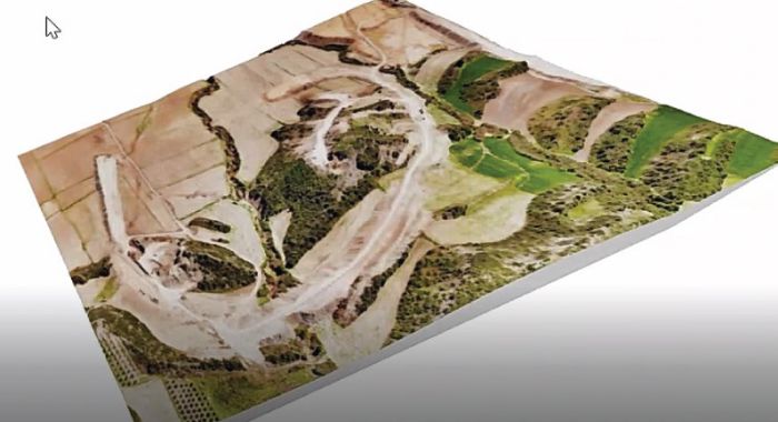
SkyDeck, Asteria’s end-to-end drone to data solution provides a cloud-based platform where various stakeholders can securely interact and collaborate on 2D maps and terrain models, 3D models, videos and raw images through a simple web browser. Automated and customized reports of measurements, annotations and analysis can be generated, downloaded and shared through the same platform.
The use of drones in the mining industry revolutionizes operations by improving safety, efficiency, and cost-effectiveness. Asteria's drone solutions empower mining companies to streamline operations, mitigate risks, and maximize output with precision-driven insights.
Up to 98%
survey accuracy
90%
increase in survey efficiency
60%
increase in collaboration
360-degree
aerial coverage of mines
Asteria offers Drone-as-a-Service (DaaS) for seamless integration of drones in mining operations, eliminating the need for investment in drone hardware, software, and analytics. With AI-powered analytics, real-time data processing, and compliance-ready reporting, we deliver end-to-end mining operations solutions for optimized decision-making.
Ans: Drones in mining operations enhance efficiency by providing real-time aerial data for surveying and stockpile management. They reduce operational risks, improve accuracy, and enable quick decision-making, optimizing site productivity while minimizing costs and worker exposure to hazardous areas.
Ans: Drone mapping in mining involves using UAVs to capture high-resolution imagery and 3D terrain models of mine sites. This data helps in topographic mapping, volumetric calculations, and infrastructure assessments, enabling precise planning, compliance monitoring, and resource optimization in mining operations.
Ans: Both fixed-wing and multi-rotor drones are used in drone applications for mining. Fixed-wing drones cover large areas efficiently for topographic surveys, while multi-rotor drones offer precise, close-range inspections of mining infrastructure and stockpiles.
Ans: Drones used in mining collect geospatial data, high-resolution imagery, thermal imaging, and volumetric measurements. This data aids in resource estimation, terrain modeling, infrastructure inspection, and compliance reporting, offering actionable insights for optimized mining operations solutions.
Ans: Yes, drones in mining significantly enhance worker safety by reducing the need for personnel to enter hazardous areas. They conduct remote inspections, monitor unstable terrain, and assess mine site conditions, minimizing accident risks and ensuring a safer working environment.