



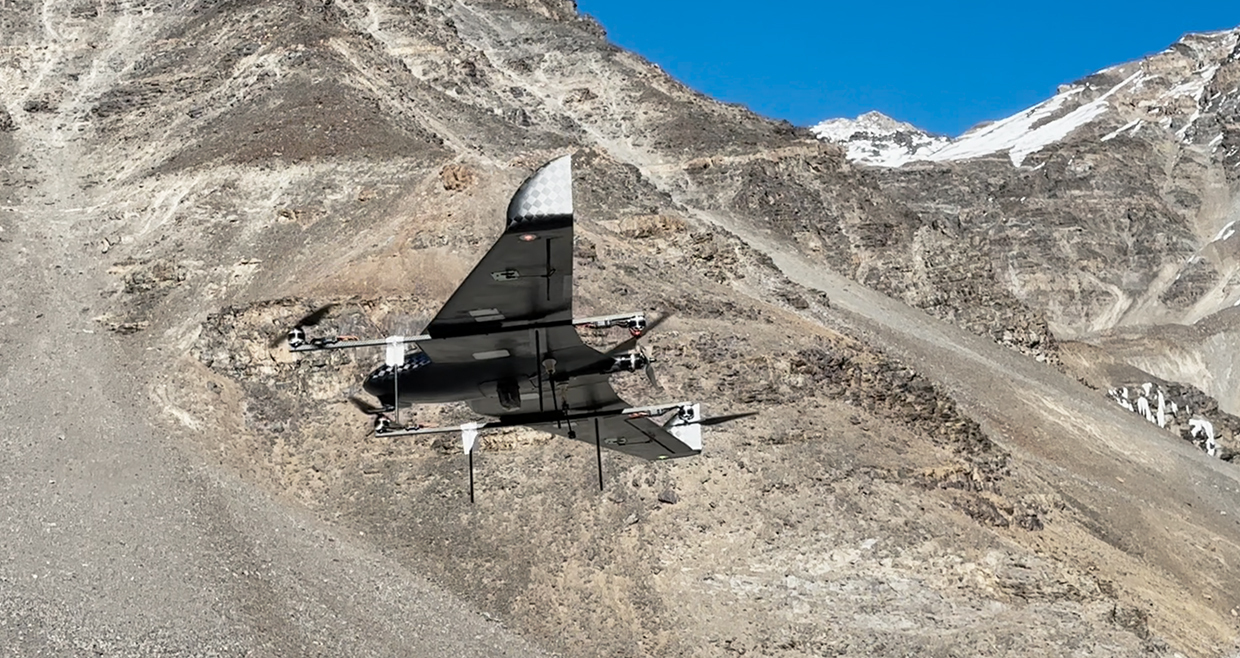
Asteria AT-15 boasts an impressive flight time of up to 120 minutes. This extended endurance allows for prolonged missions, ensuring thorough coverage and comprehensive data collection. Coupled with a range of 20km line-of-sight (LOS), the AT-15 can traverse vast distances with ease, providing critical insights even in remote or challenging environments. One of the standout features of the AT-15 is its vertical takeoff and landing capability, offering unmatched flexibility in deployment. This feature eliminates the need for a traditional runway, allowing the drone to operate in confined spaces or rugged terrain with ease.

Drones are becoming indispensable tools in the construction industry, reshaping the way projects are planned, executed, and monitored. Their applications span various facets of construction, enhancing efficiency and precision.
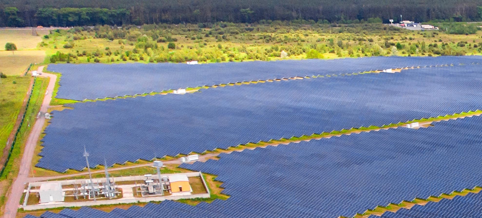
Solar energy is revolutionizing the way we harness power, and drones are playing a pivotal role in maximizing the efficiency and sustainability of solar farms. Here's a glimpse into the diverse applications of drones in the solar energy sector.
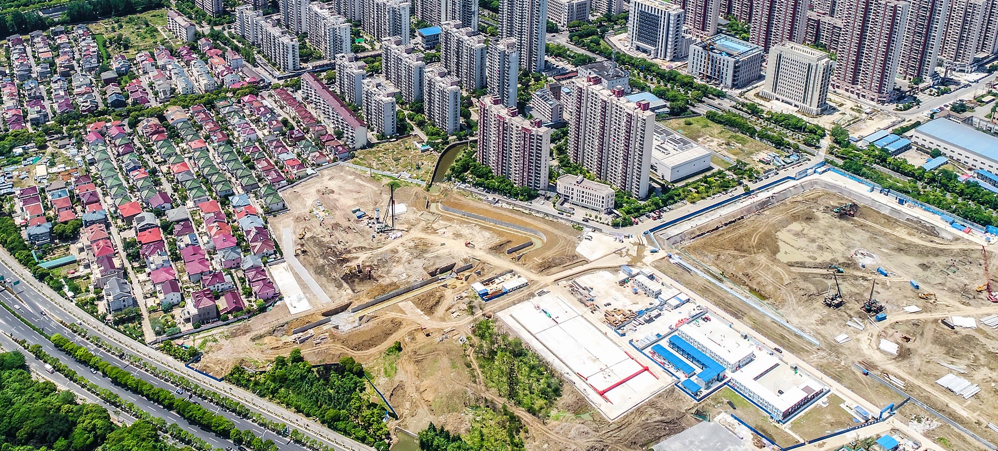
By leveraging Asteria’s full-sack drone solution for surveying and mapping, progress monitoring, and safety inspections, Ambuja Neotia was able to improve decision-making, streamline operations, enhance safety protocols, and increase efficiency.