
India’s agriculture history dates back to the Indus valley civilization era. The agriculture sector contributes about 18% to the GDP and employs 60% percent of the Indian population. Farmable or cultivatable land area in the country is the second largest in the world after the United States. The diversity in crop varieties is abundant owing to the varied topography of the country, from coastal areas and plateaus to hills and marshy lands. The harvest timelines are deeply rooted in culture, festivals, and collective identities making agriculture in India unique. Yet, our application of agricultural methods has not kept pace with our needs, and this is putting enormous pressure on our farmers today.
Farmers don’t have accurate information about their land, fertility, and potential risks surrounding their ecosystem. Yield makes or breaks a farmer’s livelihood. Extreme changes in climate, soil health, pest infestations, etc. have a profound impact on the crop and yield outcome. The lack of knowledge of vital information can lead to:
Further, when unexpected changes happen – farmers do not have transparent proof for insurance claims.
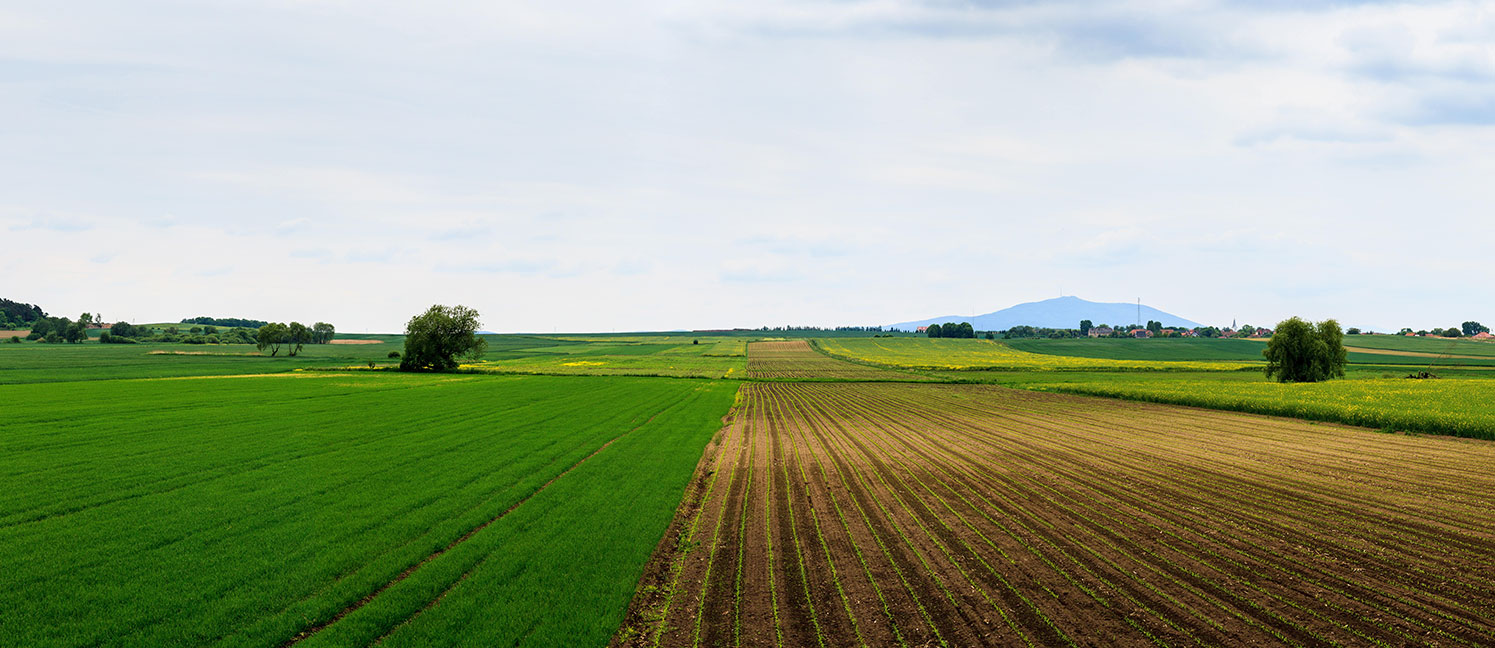
Understanding the lay of the land comes first; a farmer needs to understand the productivity of the field. Through an aerial image survey, drones can detect variations in the geography, fertile zones, and dry patches. It is also an essential tool for identifying areas prone to floods and making irrigation-related choices.
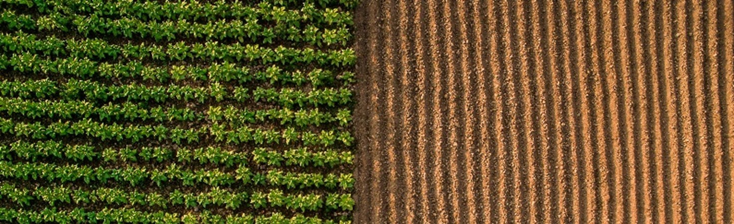
A farmer may plant around 30,000 seeds per acre in a maize farm. When the seeds germinate, performing an accurate stand count is critical as it enables a farmer to:
Conventionally, farmers perform stand counts by walking through the field rows, manually counting the stands in some area and assessing the evenness of growth and extrapolating the results to the whole field. This process is time-consuming, subjective, and has a high margin of error, limiting the potential of the growing season.
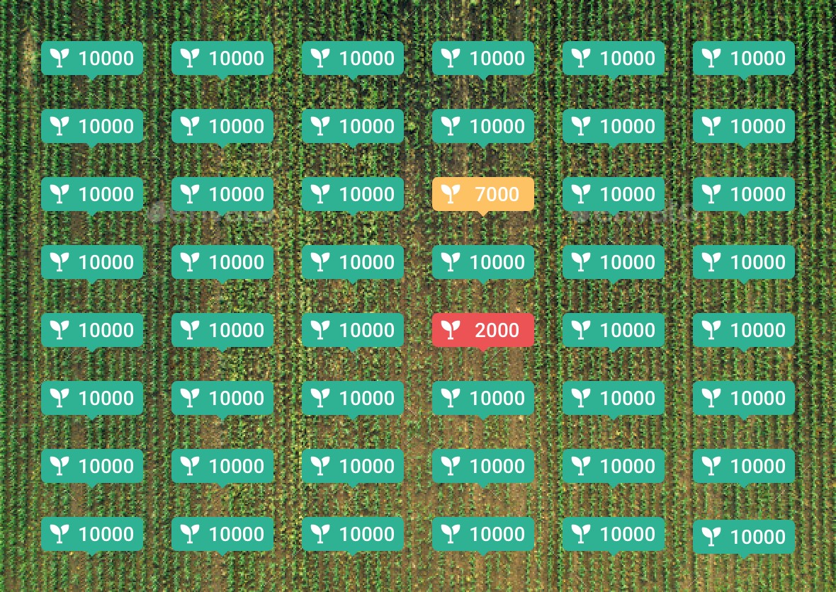
A drone-based aerial survey can provide an accurate picture of the farm and analytics can be run on the imagery to automatically extract stand count and growth metrics.
Farmers can quantify the number of plants per row, acre, or zone and automatically generate an accurate count of the number of emerging plants. This allows farmers to isolate areas of potential loss and take corrective action before it is too late.
Early intervention and unerring stand count map the difference between a burgeoning harvest or significant crop losses. As a result, a drone-based survey for stand count can help famers be one step ahead in maximizing planting and improving yield potential for their crops.
Drones equipped with high resolution RGB, thermal, multispectral and hyperspectral sensors can remotely sense crop growth and health parameters throughout the growing season. Even large acres of farms can be surveyed on-demand using drones within minutes.
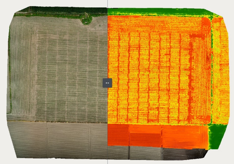
Vegetation indices such as NDVI, SAVI, EVI derived from aerial imagery can be used to make informed, data-driven decisions on the health of each area of the field and provide recommendations for further inspections or interventions. Any abnormalities in plant growth and plant health can be quickly detected to enable a rapid response.
Digitization of the farm also provides a precise record which can be used for insurance audit purposes.
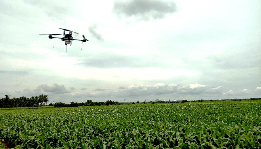
Drones equipped with spraying systems can precisely dispense micronutrients, fertilizers, and pesticides over specified areas of a farm. This enables optimum usage of expensive resources – when and where it is needed. It also minimizes human contact with hazardous chemicals. Today, drones are used to spray pesticides on more than 30% of the total paddy fields in Japan.
The adoption of drone technology will play an important role in helping the agricultural sector address emerging challenges and improve efficiency and output. Drone imagery, analytics, and automation provides solutions for the farmer to act with speed and accuracy. Along with and converging with other emerging technology such as IoT, AI/ML, satellites, and ground robots, drones will user in the age of precision farming.
